 |
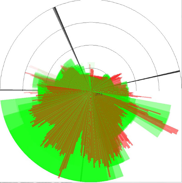
| Combined heading from compass sensor with distance readings from ultrasonic (green) and IR (red), black lines are robot headings |
The ultrasonic sensor has really wide angles of 15 degrees making it ideal to scan the environment fast. It also has better range than the IR sensors around 2 meters while the IR sensor starts to give inaccurate readings after a meter or so.
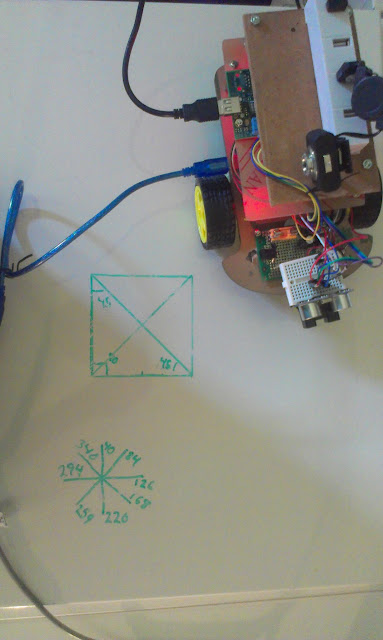
The compass gives really crappy values, but I started on an algorithm to correct it based on linear mapping. I measured 45 degree angles and it seems to work OK. All sensors have a lot of noise on them, some of which I can remove using multiple measurements and making sure to add delays after using servos and motors. I'm thinking of moving all sensor calibration to the Rpi board in order to better calculate noise distributions.
 |
| Compass Calibration |
No comments:
Post a Comment